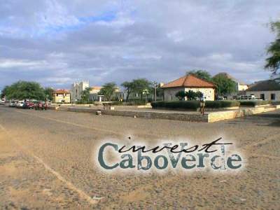
Undeveloped Boavista Island
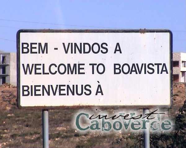
Boavista Island are The Caribbean Islands on the wrong side of the Atlantic and as undeveloped as Lanzarote was 30 years ago.
Island of Dunes Boavista
Similar to the “flat” islands of Sal and Maio, the climate and countryside of Boavista is also heavily affected by the dry, hot winds blowing from the Sahara.
The countryside of Boavista is, dominated by sand dunes and plantations of coconut and date palms, has a white sand desert in the interior, almost cheek by jowl with a subtropical oasis where the infrequent rainfall is trapped.
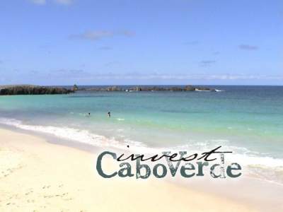
The white, sandy beaches that stretch for mile after mile make Boavista one of the islands with the highest tourist development potential.
BOA VISTA, CAPE VERDE – Travel Vlog with ALL top sights in 4K + DRONE – English
Cape Verde is a tropical paradise off the west coast of Africa. The islands are popular holiday destinations for Europeans.
What is there to do? For example, I often heard that Cape Verde would not have much to offer.
They couldn’t be more wrong! Watch the video and see for yourself that Cape Verde has much more to offer than a few beaches and coves.
The church of Nossa Senhora de Fatima
From the capital Sal Rei we also visit the most beautiful church Nossa Senhora de Fatima and the Viana desert.
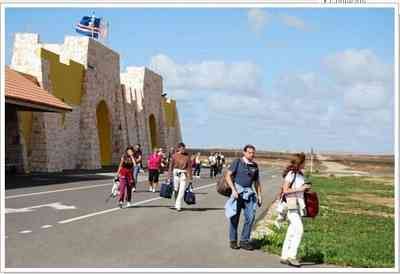
The airport at Boavista is being extended and they hope to be able to accept international flights in the relatively (in Caboverdian terms!) near future.
This will galvanise the development of Hotels and apartments.
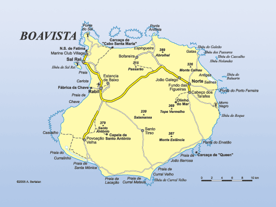
Capital: Sal Rei
Language: Portuguese & Creole
Currency: CV Escudo
Ethnicity:Mulatto 71%, African 28%, European 1%
Boa Vista Hotels List
About Boavista:
Boavista is the most eastern island of Cape Verde, and the nearest to the African continent.
It has a surface of 620 km2 and is pentagonal in shape with its longest distance, from North to South of 31 km, and 29 km from West to East.
The third longer beach to the world is found on Boavista, and measure 18 kilometers.
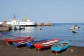
Boavista is 12 minutes by air taxi from Sal which has an international airport. The main town of Boavista Sal Rei has a ferry port and also the island’s airport which lies on the north west side Boavista. The island is well known for marine turtles, traditional music, sand dunes and beaches.
Its landscape is largely flat except for the volcanic formations in Rabil and Fundo das Figueiras. Pico d`Estancia, at 390 meters, is the highest point of the island.
Boavista Island vegetation
Among the typical vegetation of Boavista island is the date palm, a type of palm tree with three or six branches coming out of the same base.
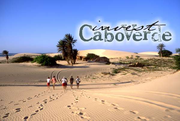
The island of Boavista is covered with sand dunes, which gives it an almost lunar scenery, and has over 50 km of beautiful white sand beaches and emerald green water.
It is possible to see much of the island either by self drive car or with the services of a local guide. The main sites of interest include the many extensive white sanded beaches including Chave beach and Curralinho beach. Head inland from Chave beach you may find evidence of the former production of ceramic tiles and bricks etc. A small craft centre is developing here
History of Boavista:
Boavista Island was discovered on the 3rd of May, 1480, after the islands of Maio, Santiago and Fogo, and was first named S.Cristovão.
The name Boavista has its origin in the exclamation “Captain, good sight (boa vista)”, instead of the traditional “Land at sight”, due to the joy of a sailor in the dormer window of a sailing vessel which faced a fearful tempest. Initially dependent on one of the ports under the command of a captain in the island of Santiago, the occupancy of Boavista started in 1497 after it was given to Captain Rodrigo Afonso for the raising of cattle in the hands of a small number of shepherds.
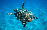
Urgent international efforts are needed to conserve West Africa’s sea turtles as studies show that the region holds some of the world’s most important feeding and nesting sites, many of them under threat.
The International University Campus for studies and conservation of marine turtles holds field camps for the study and conservation of nesting marine turtles each year in Boavista Island and students from both Europe and Cape Verde participate.
The field caps work from June to October each year since 1999 as Boavista Island offers excellent nesting habitat for nesting loggerhead turtles – Caretta caretta. Most of this activity takes places on the east coast beaches at night.https://takeabreakholidays.com/africa/cape-verde-islands/
£££££££££££££££££££££££££££££££££££
 If you found any of the info interesting,
 Please be the first to buy me a couple of coffee’s To help me progress these kind of pages and keep collecting more content,
it can be made BELOW: Thanks
Boavista Island
Take A Break Holidays takeabreakholidays,
Optimised July 3 H 62 Aug 29 H 77 P 92 F OK
San Francisco De Asis, Urb Marina, San Fulgencio, 03177, Alicante, Spain.
Site Disclaimer
Disclaimer: Whilst every effort has been made to provide accurate information, no liability will be accepted for misinterpretation, misrepresentation, errors or omissions - the information provided by our Websites is for use as a guide only and is issued in good faith as information All photographs images and video material is subject to the understanding that as they are in the public domain they can be used and shared as seen to be appropriate and unless they show a sign that they are covered by copyright law. This also covers Social media operations.1999---2023